Author: Władysław Semkowicz
Year: 1933
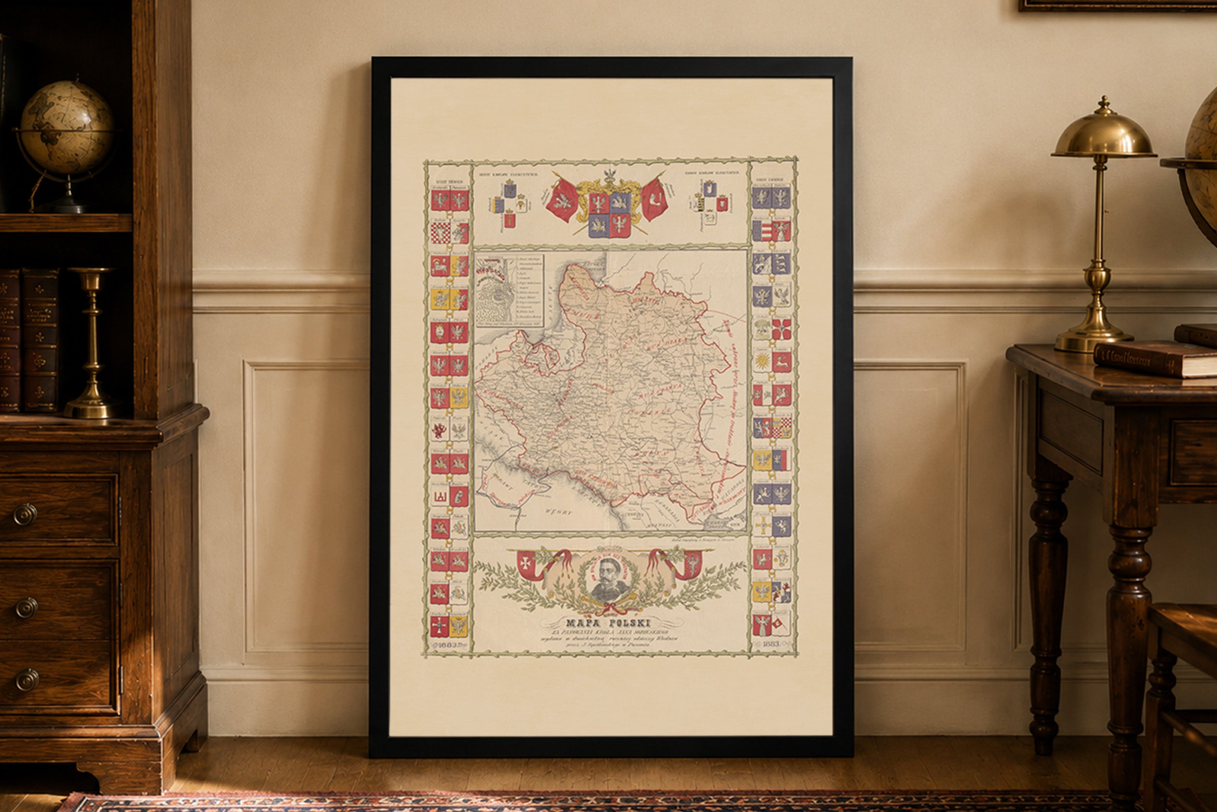
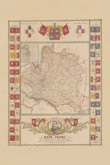
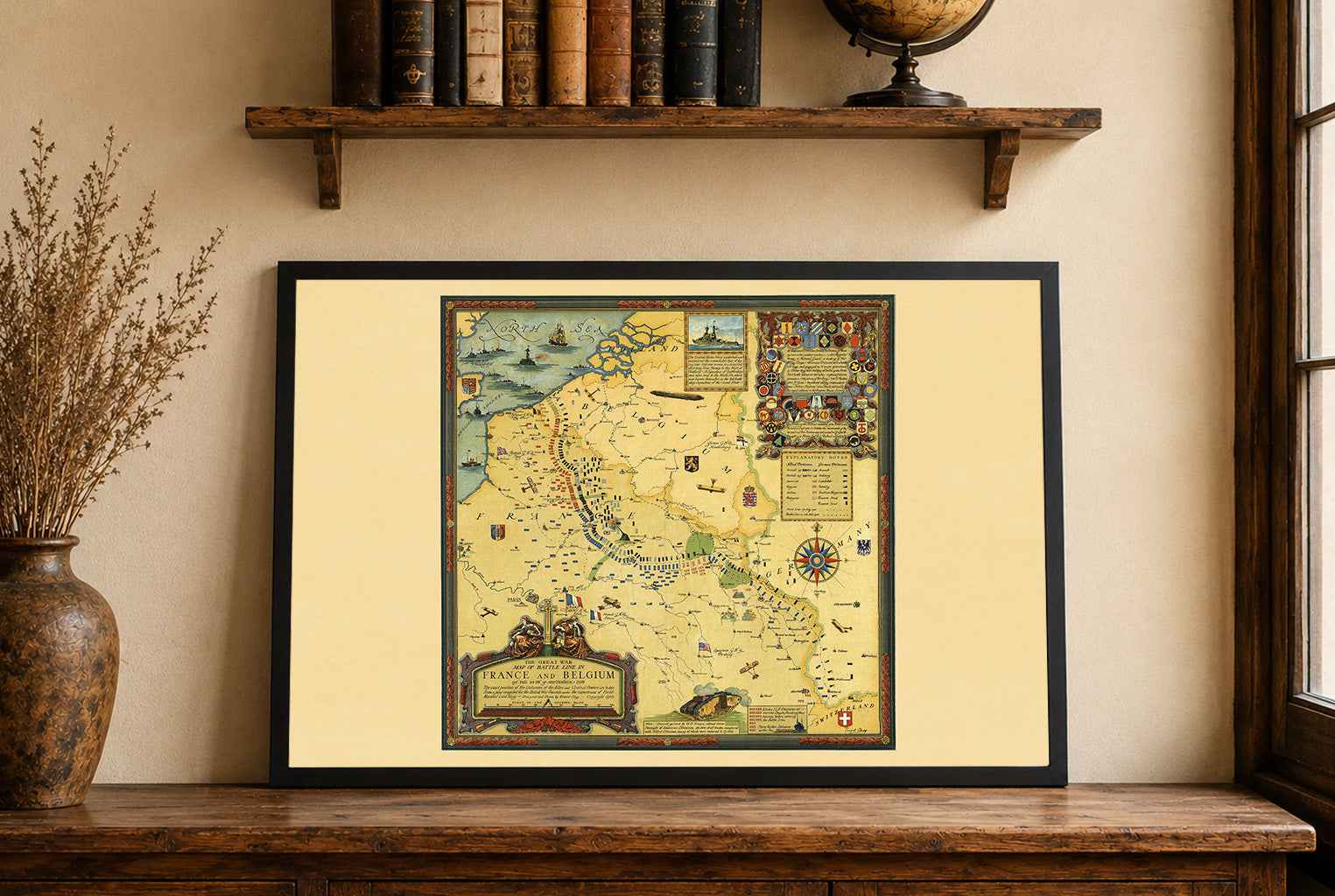
This is a reproduction print of the historical map “Rzeczpospolita Polska w dobie królów obieralnych: stan polityczny z czasów króla Stefana Batorego (1582) z uwzględnieniem późniejszych zmian terytorjalnych do r. 1770”, created by Władysław Semkowicz and published in 1933 by Książnica-Atlas in Lviv and Warsaw, in cooperation with the Eugeniusz Romer Cartographic Institute.
The map presents the Polish-Lithuanian Commonwealth during the reign of King Stefan Batory in 1582, while also documenting territorial changes up to 1770. It illustrates the political geography of one of Europe's largest early modern states, encompassing extensive territories across Central and Eastern Europe.
Different colors distinguish historical political boundaries and territorial changes, allowing viewers to compare the Commonwealth's borders across nearly two centuries. Detailed geographical inscriptions and shaded relief provide additional context, combining historical information with the precise cartographic style characteristic of the early 20th century.
Originally produced at a scale of 1:3,000,000, the map measured approximately 51 × 54 cm, with a complete sheet size of 57 × 64 cm. Published in interwar Poland, it represents an important example of Polish historical cartography, documenting the territorial development of the Polish-Lithuanian Commonwealth during the era of elected kings.