


Authors: Gerhard Mercator, Józef Michał Bazewicz, Eliasz Kanarek & Tadeusz Lipski
Years: 1585–1938
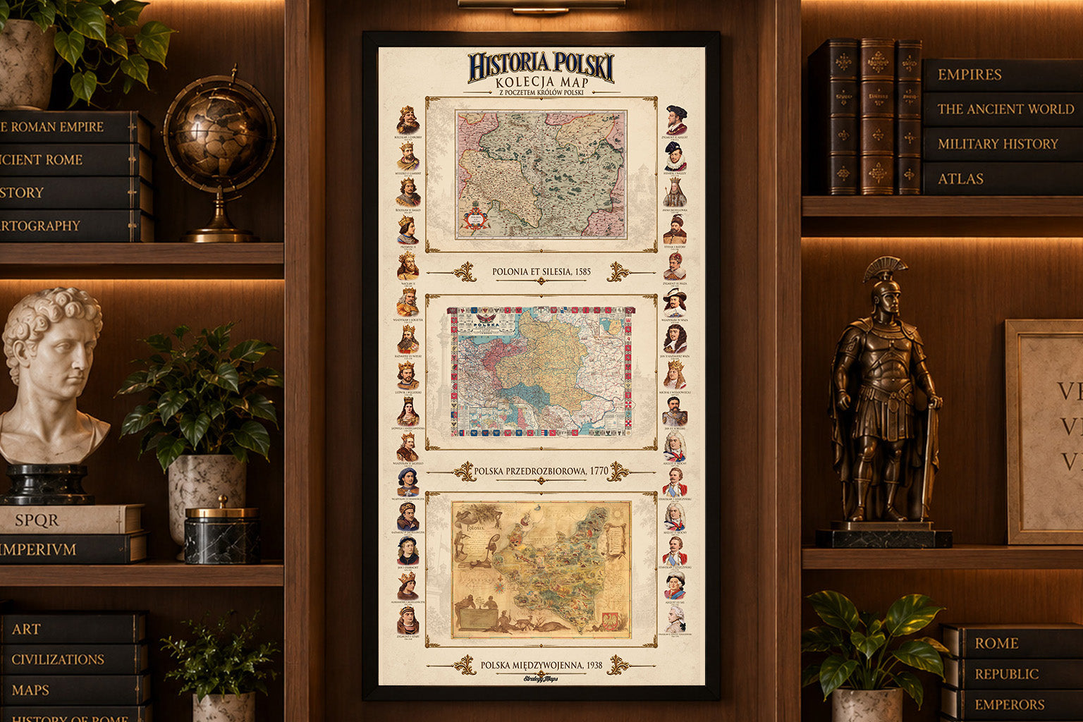
This is a reproduction print combining three historical maps of Poland into one decorative collection, accompanied by portraits of Polish rulers from the Piast, Jagiellonian and elective monarchy periods. Together, the maps present Poland across several centuries of its history - from the Polish-Lithuanian Commonwealth to the reborn Second Polish Republic.
The collection includes:
Polonia et Silesia - 1585
By Gerhard Mercator. An early map of Poland and Silesia from the great age of Renaissance cartography. Its detailed engraving, historical place names, colored borders and ornamental cartouche offer a fascinating view of the region in the late 16th century.
Poland Before the Partitions - 1770
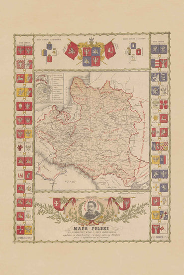
By Józef Michał Bazewicz, published in 1922. A historical representation of the Polish-Lithuanian Commonwealth before the Partitions of Poland, recalling the territorial extent of the Commonwealth shortly before the partitions of 1772, 1793 and 1795.
Interwar Poland - 1938
The pictorial map “Poloniae” by Tadeusz Lipski and Eliasz Kanarek. Created in 1938, it presents the Second Polish Republic through richly illustrated landscapes, wildlife, forests, industry, cities and regional imagery. The map was produced for presentation to an international audience in connection with the New York World’s Fair.
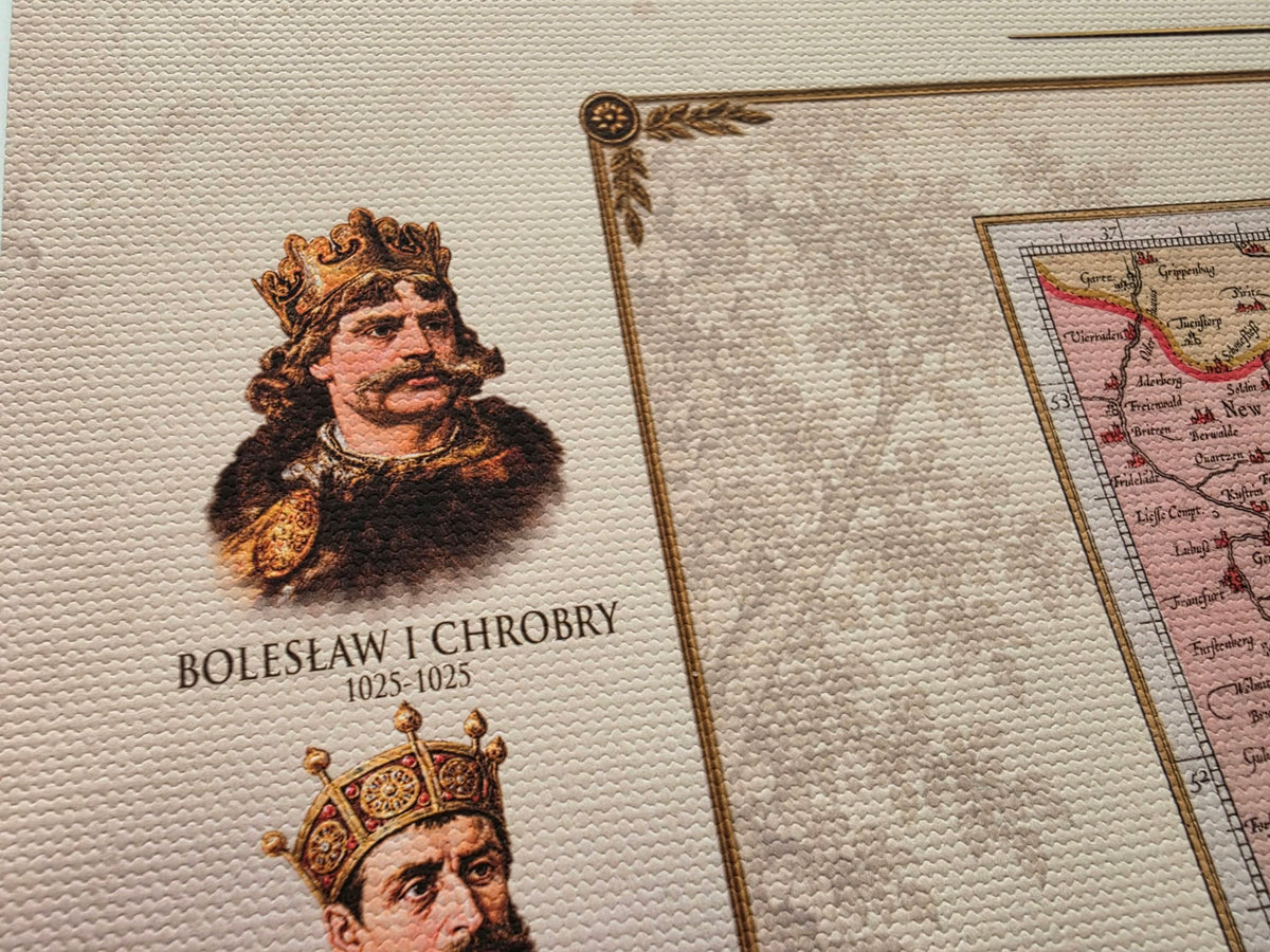
Along both sides of the composition is a chronological gallery of Polish Kings, creating a visual timeline of Polish history alongside the three maps.
Strategy Maps