


Author: Antoni Jan Gołębniak
Year: 1939
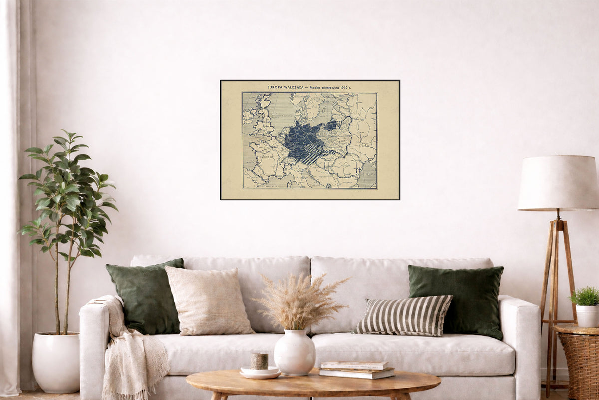
This is a reproduction print of the historical map “Europa walcząca: mapka orientacyjna 1939 r.”, drawn by Antoni Jan Gołębniak and published by Kazimierz Rutski’s publishing house in Vilnius at the beginning of World War II.
The map presents Europe at the outbreak of World War II in 1939, offering a contemporary Polish perspective on the continent during one of the defining moments of 20th-century history. Rather than being a later historical reconstruction, it was produced during the period it depicts.
Printed in a distinctive single blue color, the map has a restrained utilitarian style typical of contemporary reference maps. Its Polish-language labels and Vilnius origin make it particularly interesting as an artifact of Polish cartography from the first months of the war.
The original map measured approximately 40 × 55 cm on a 48 × 63 cm sheet. It was printed by Józef Zawadzki’s printing house in Vilnius and published by Wydawnictwo Kazimierza Rutskiego.