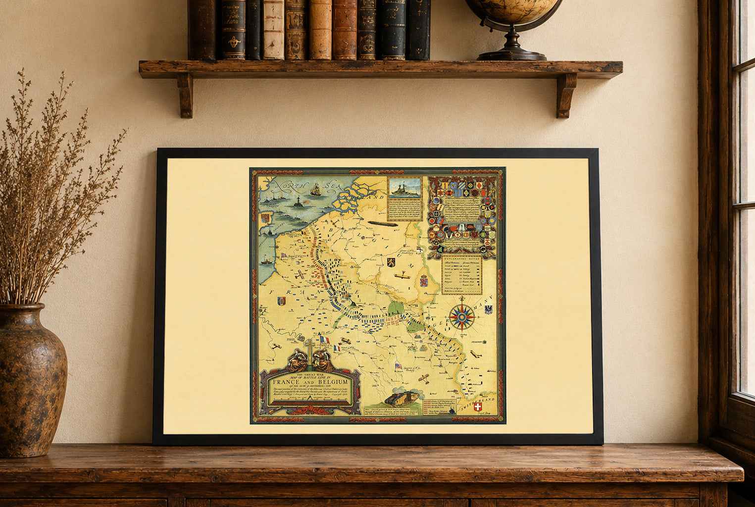
Discover the interconnected world of the late 19th century with this spectacular 1889 World Map Poster by Anatole Julien Chatelain, published in Paris by Lanee. Known as Planisphère Chatelain or Carte des Voies de Communication Établies dans le Monde Entier au moyen de la Vapeur et de l'Électricité, this monumental map illustrates how steam power and electricity were transforming global communication, transportation, and trade.
Measuring approximately 169 × 120 cm, the map presents the entire world on a Mercator projection, with political boundaries carefully distinguished by color. Its most striking feature is the vast network of steamship routes and submarine telegraph cables crossing the oceans. Red routes represent maritime steamship connections, while blue lines trace the growing network of international telegraph cables.
Numerous inset maps provide additional detail, including the British Isles, Central Europe and the Mediterranean, and the Gulf of Mexico and West Indies. Extensive tables around the margins list shipping companies, routes, travel times, and other statistical information, while a "Pavillons des Nationalités" panel identifies national flags.
The map is a fascinating visual record of the Second Industrial Revolution and the globalization of the 19th century. Rather than simply depicting territories, it shows a world increasingly connected by technology, commerce, maritime transport, and instantaneous communication.
Its sophisticated French cartographic design, dense network of routes, decorative typography, colorful printing, and enormous format make it an exceptional piece of vintage world map wall art. It is particularly suited to interiors inspired by history, travel, exploration, cartography, maritime history, technology, and the Victorian era.
This is a reproduction print of a historical map
Author: Chatelain, Anatole Julien (1817 - 1898)
Year: 1889