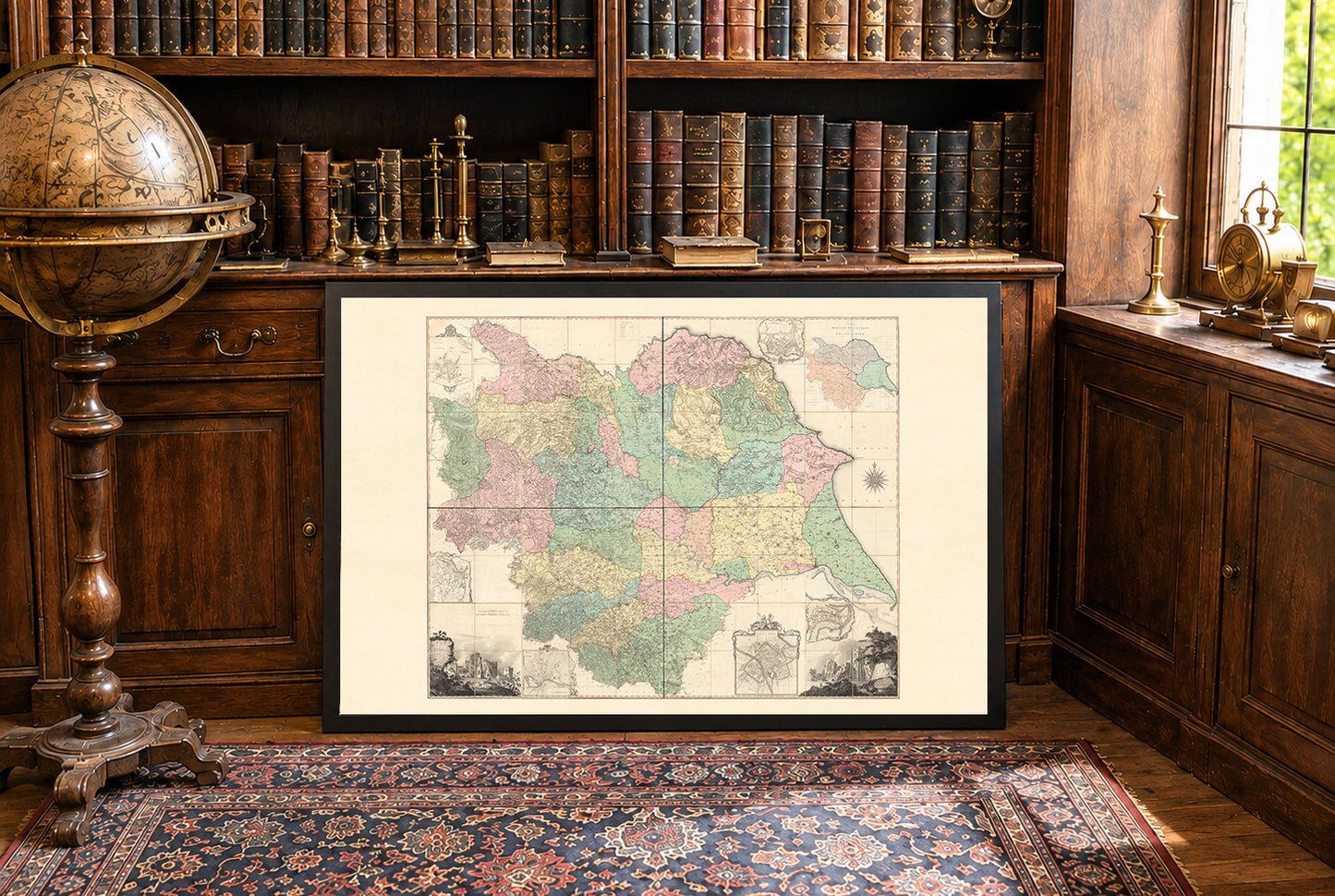




Explore one of the finest county maps ever produced with this magnificent Yorkshire County Map Poster, featuring the celebrated survey by Thomas Jefferys, published in 1772. Based on extensive surveys conducted between 1767 and 1770, this monumental map is widely regarded as one of the greatest achievements of eighteenth-century British cartography, offering an extraordinarily detailed view of England's largest historic county.
Originally engraved across multiple sheets, the map documents Yorkshire with remarkable precision, illustrating towns, villages, churches, roads, rivers, hills, moorlands, forests, coastlines, and administrative boundaries. It also records the county's rapidly expanding industrial landscape, including coal mines, water mills, alum works, and other important economic sites that shaped Yorkshire during the early Industrial Revolution.
One of the map's most distinctive features is its collection of beautifully engraved inset plans of major Yorkshire towns, including Sheffield, Leeds, Ripon, Kingston upon Hull, and Scarborough. These detailed city plans are complemented by decorative panoramic views of historic landmarks such as Fountains Abbey and Middleham Castle, adding artistic elegance to an already exceptional cartographic work.
Designed at the highly detailed scale of one inch to one mile, Jefferys' survey represented one of the most accurate county maps of its era. Rich engraving, elegant typography, decorative cartouches, and an ornate compass rose reflect the outstanding craftsmanship that established Thomas Jefferys as one of Britain's greatest mapmakers.
Perfect for historians, genealogists, collectors, architects, travelers, and admirers of antique British maps, this vintage Yorkshire poster makes a distinguished wall decoration for libraries, studies, offices, or interiors inspired by English history and classic cartography.
This is a reproduction print of a historical map