


Author: Atelier “Mewa”
Year: c. 1935
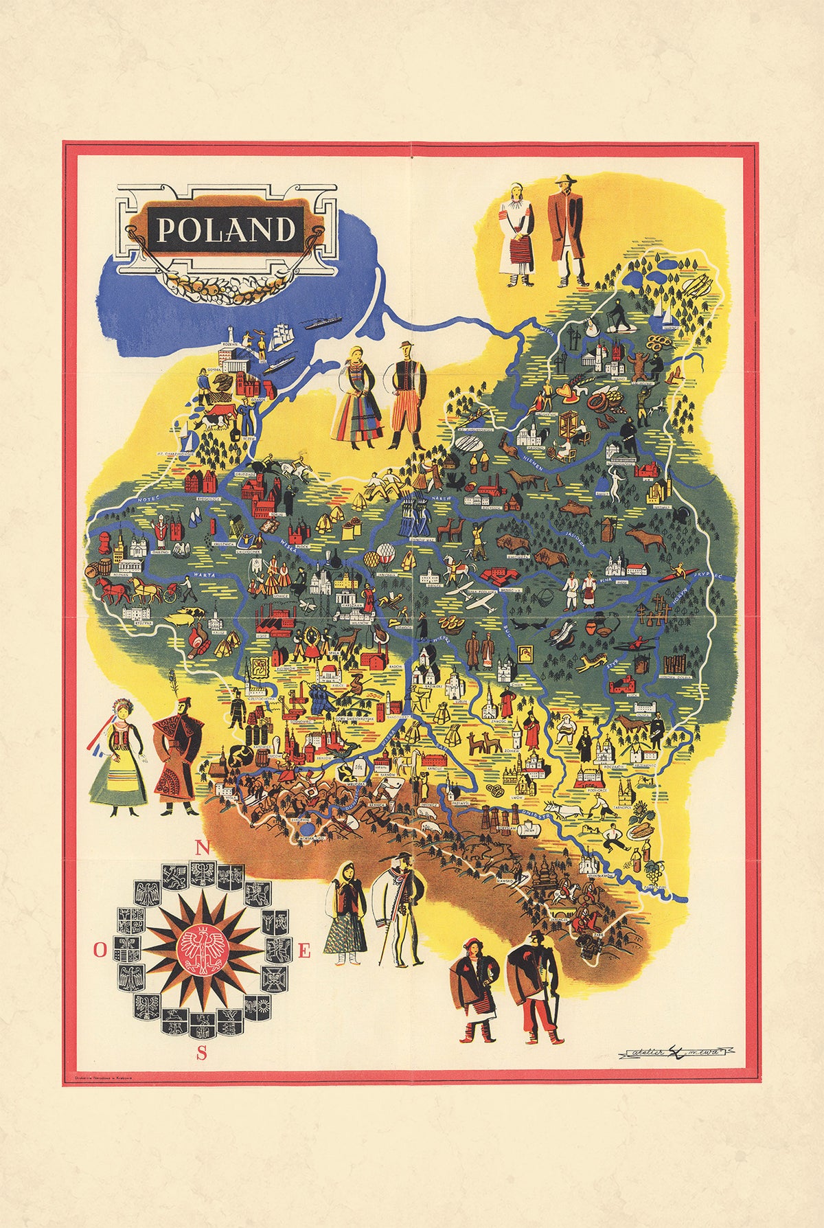
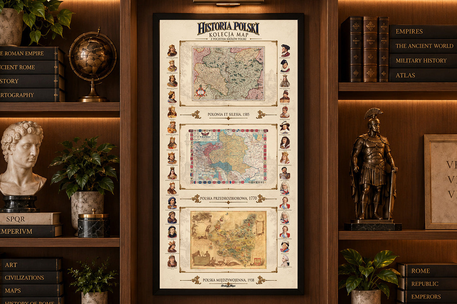
This is a reproduction print of the historical pictorial map “Poland”, created by Atelier “Mewa” around 1935 and published by Drukarnia Naradows.
The map presents interwar Poland through a colorful combination of cartography and illustration. Cities and important landmarks appear alongside regional symbols, scenes of everyday life and representations of agriculture and industry, creating a visual portrait of the country during the 1930s.
Particularly distinctive are the figures dressed in traditional Polish regional costumes, highlighting the cultural diversity of the Second Polish Republic. Decorative motifs and an elaborate compass rose further emphasize the map’s celebration of Polish culture and national identity.
With its vivid blues, greens, yellows and reds, the map is a characteristic example of interwar pictorial cartography, designed to be both informative and decorative. The original measured approximately 43 × 58 cm.