Authors: John A. Diakoff, G. Primakoff & P. Sergeeff
Year: 1931
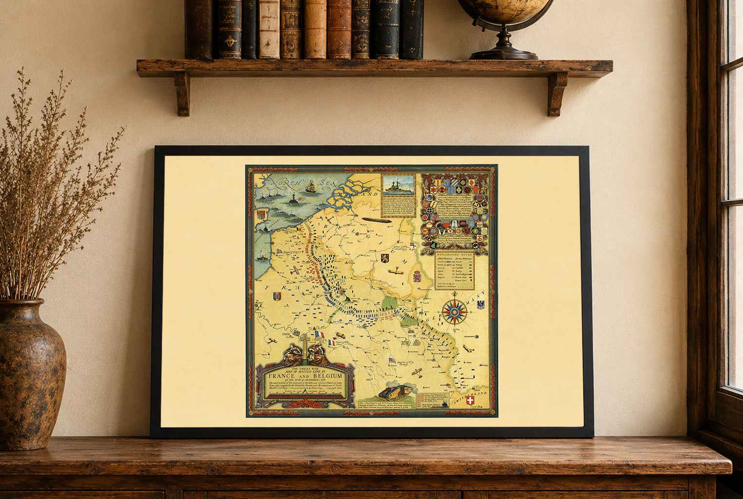
This is a reproduction print of the historical “Map of China”, created by John A. Diakoff, G. Primakoff and P. Sergeeff in 1931 and published by Northern Trading Co., Ltd. in Harbin. This remarkable pictorial map combines detailed cartography with colorful illustrations of China's geography, culture and everyday life.
The map presents China in the early 1930s, depicting its provinces, major cities, political boundaries, roads and railway networks. Mountains, rivers and agricultural regions are illustrated alongside wildlife, traditional costumes, local industries and regional activities, creating a vivid portrait of the country's geographical and cultural diversity.
Particularly distinctive are the decorative vignettes of famous landmarks and landscapes surrounding the main map. Detailed pictorial relief brings mountain ranges and natural features to life, while climatic insets showing January and July isotherms illustrate temperature variations across Asia. Geographic inscriptions appear in both Chinese and English.
Originally produced at a scale of 1:3,200,000, the map measured approximately 138 × 180 cm and was divided into 16 linen-mounted sections, forming a complete sheet of approximately 152 × 201 cm. Its exceptional detail, vibrant colors and elaborate illustrations make it a striking example of early 20th-century Chinese pictorial cartography.