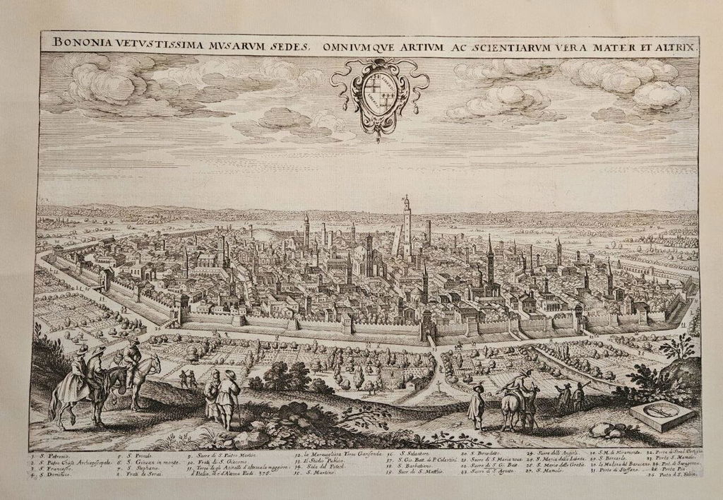


Quest'opera è una mappa dettagliata della città intitolata "Antuerpia; Gallis Anvers:. Vernacule Antwerpen," creata da Joan Blaeu e Willem Janszoon Blaeu nel 1652. La mappa rappresenta Anversa, Belgio, ed è inclusa nel Volume Due dei libri sulle città dei Paesi Bassi di Blaeu. La mappa è una rappresentazione incisa finemente dettagliata di Anversa, che mostra la disposizione della città a metà del XVII secolo. Combina elementi sia artistici che cartografici, caratteristici del lavoro di Blaeu. La mappa è presentata in bianco e nero, con dettagli intricati di strade, edifici e fortificazioni.


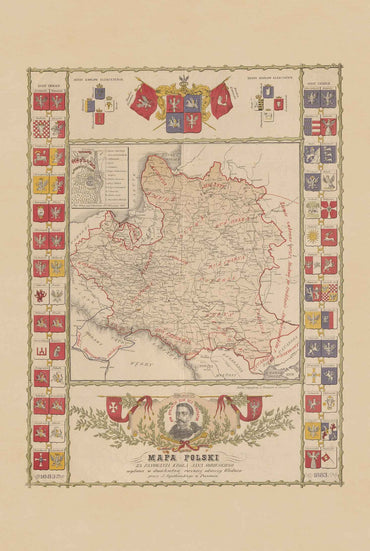


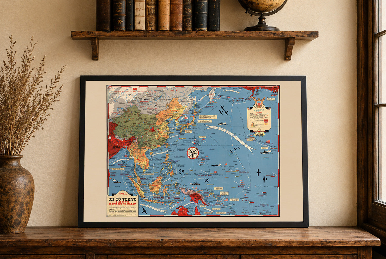
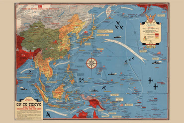


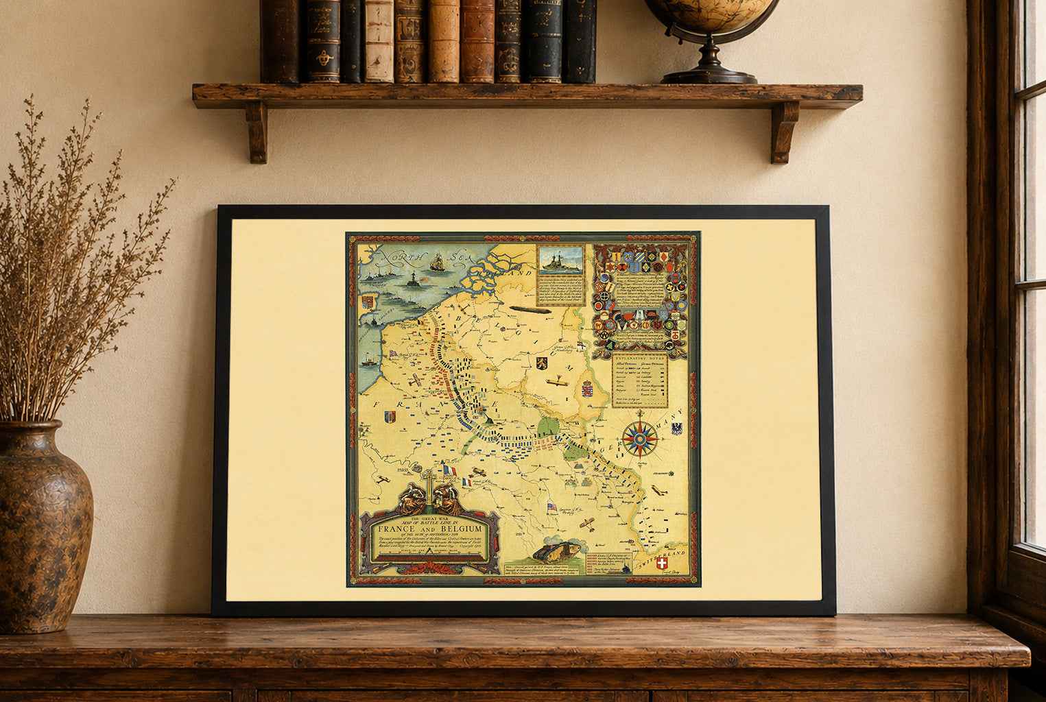
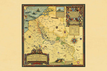


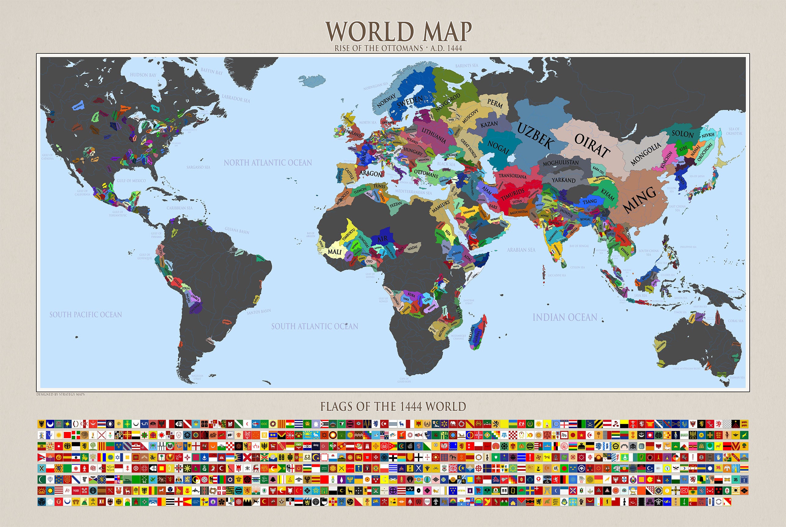
Incredibly high quality print. Did not get the frame so I can’t speak to that. Got the larger of the two sizes and am in love with it. Printed on a material that feels like a soft canvas.
For the cost and the quality alone, I would highly recommend anyone on the fence to buy one. You will not be disappointed.
Jestem w pełni zadowolony z zakupu tej mapy. Na ścianie prezentuje się dumnie i pięknie. Do jakości samego wyrobu nie mam żadnych zastrzeżeń. Co do transportu, przebiegł szybko i sprawnie, bez żadnych zarzutów. W przyszłości będę na pewno planował jeszcze coś dodać do swojej kolekcji z tego sklepu. Serdecznie polecam!
This map is amazing and very very high quality. Referred a friend to the service and will be sure to order more.
Thank you for adding my family heritage to your site!
I ordered this to hang up next to some photos from a trip to Portugal and I'm very happy with it. Its a great looking map and the quality of the print does it justice. The service was very prompt, my order printed and shipped in under 48 hours and arrived in under a week.
Excellent print, the fabric also is really nice and robust. Absolutely recommended