


L'œuvre représentée est une carte détaillée de Bruges, créée par Joan Blaeu et Willem Janszoon Blaeu. Cette carte, datée de 1652, fait partie d'un atlas plus vaste intitulé "Toonneel der Steeden van s'Konings Nederlanden, met hare Beschryvingen", publié par Joan Blaeu. La carte est une représentation méticuleusement gravée de Bruges, montrant la ville à vol d'oiseau. Elle fait partie d'un atlas qui combine la précision cartographique avec des embellissements artistiques, caractéristiques de l'âge d'or hollandais de la cartographie. Le support est probablement une estampe gravée, courante pour les cartes de cette époque en raison du niveau de détail réalisable par la gravure.


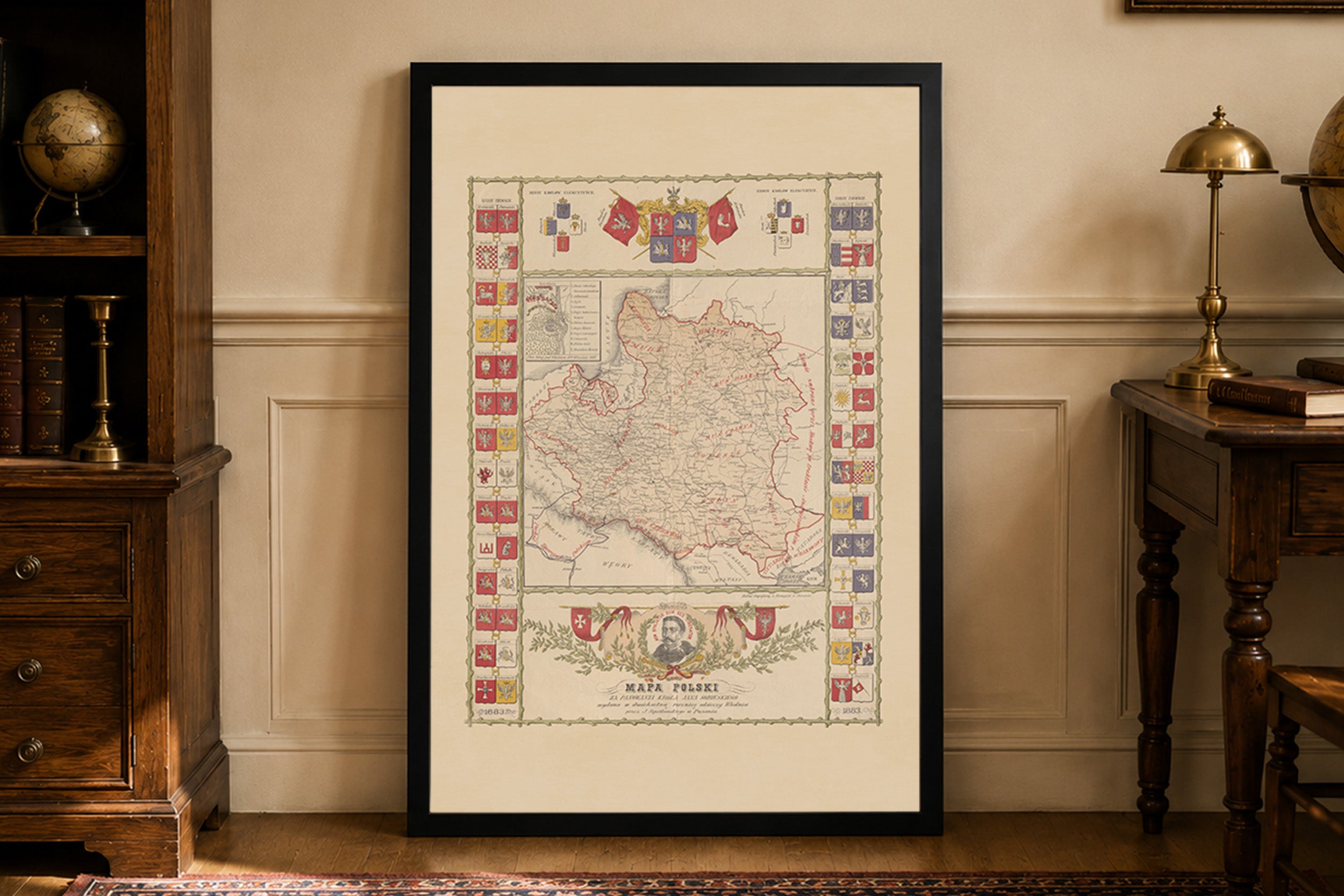
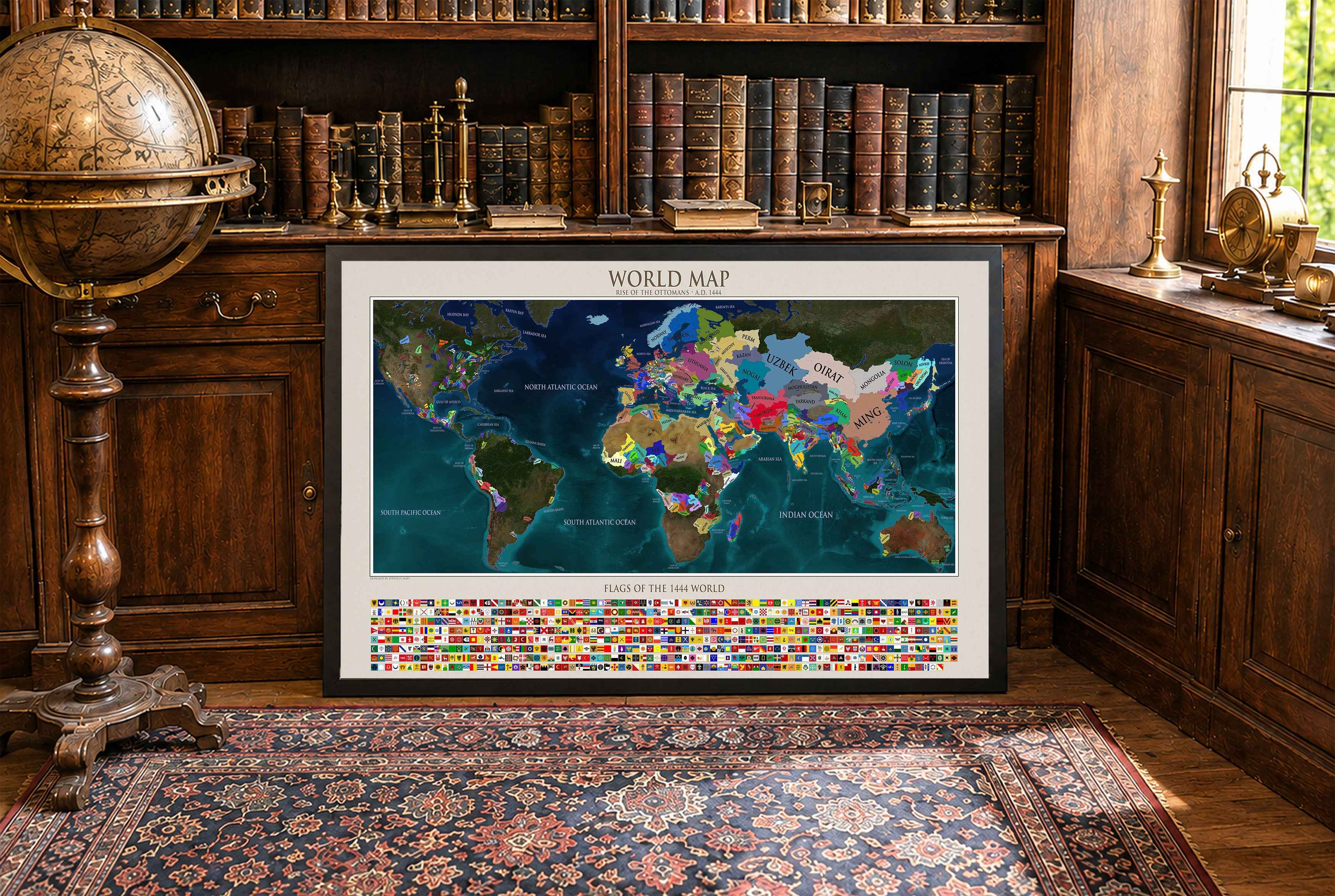
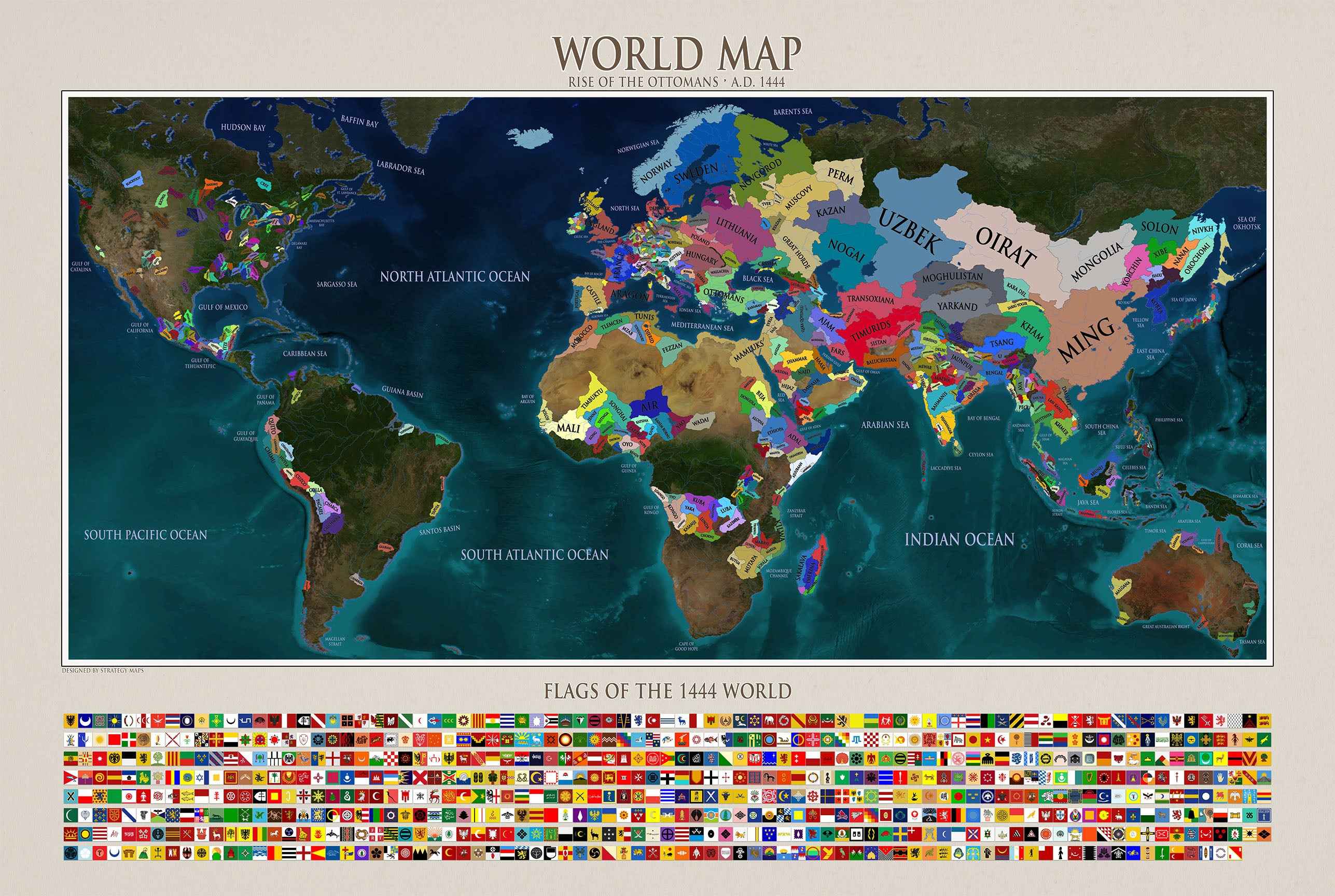
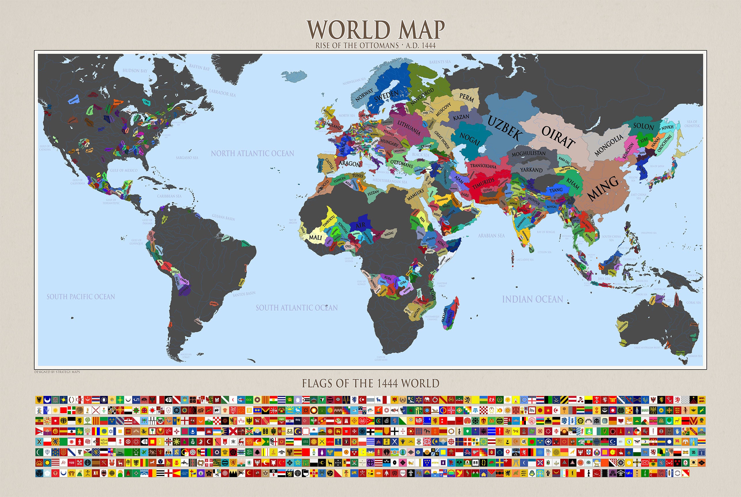


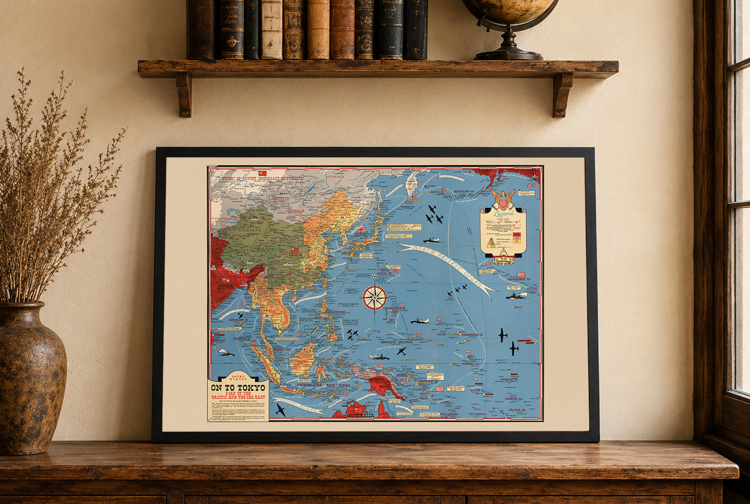


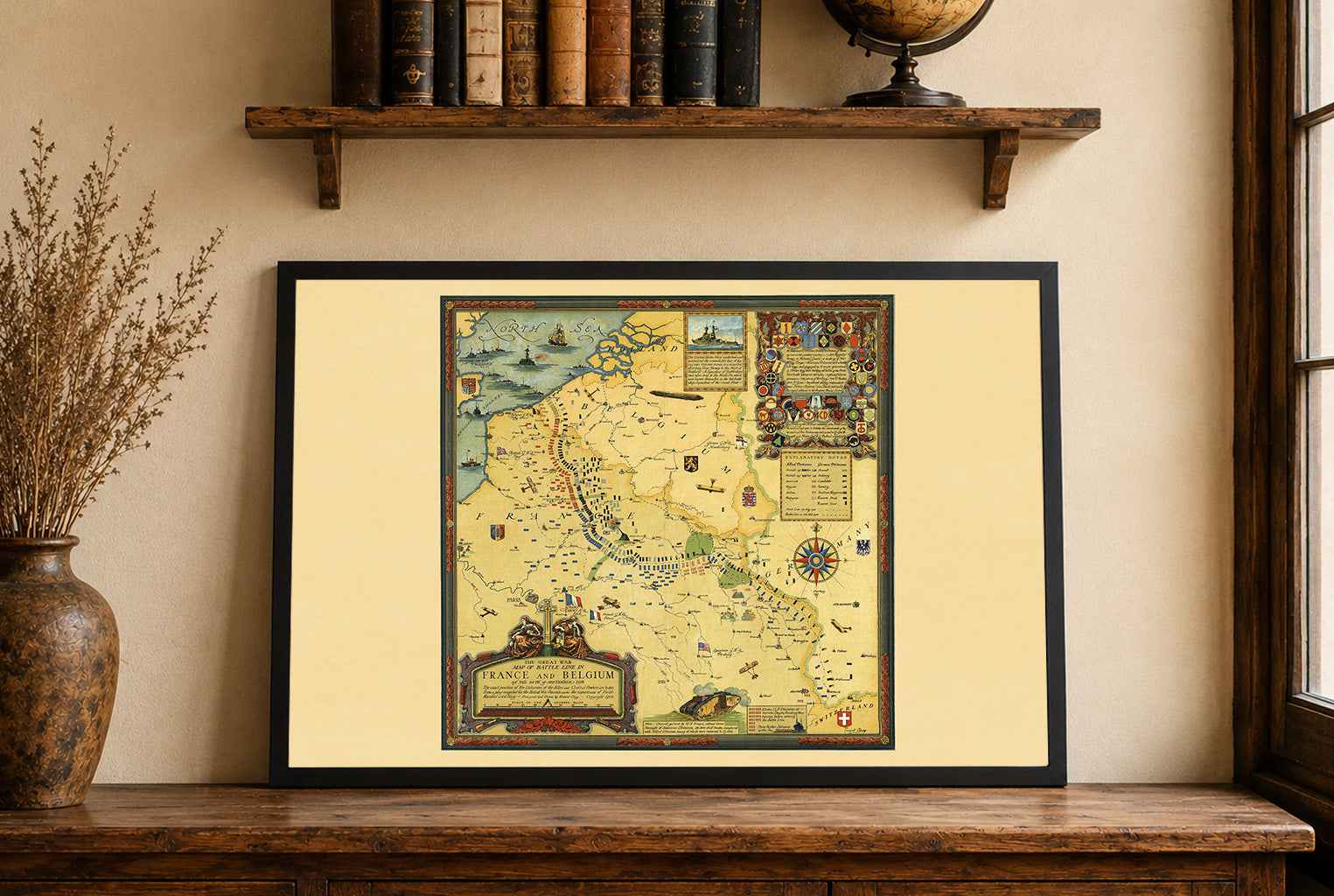


Maps came in a very well cushioned package with no damage occurring during transit. The color on the maps is nicely saturated and the maps look great on the wall.
Great quality, great packaging, great delivery! Highly recommend all maps!
Great material and colour saturation and means I can choose a country to play before turning on my PC :P
Map arrived in perfect condition and quality for reading cities, rivers, mountains and regions. Incredibly helpful in sourcing the map I wanted and adding it to the store.
Rotterdam is always 5 stars.