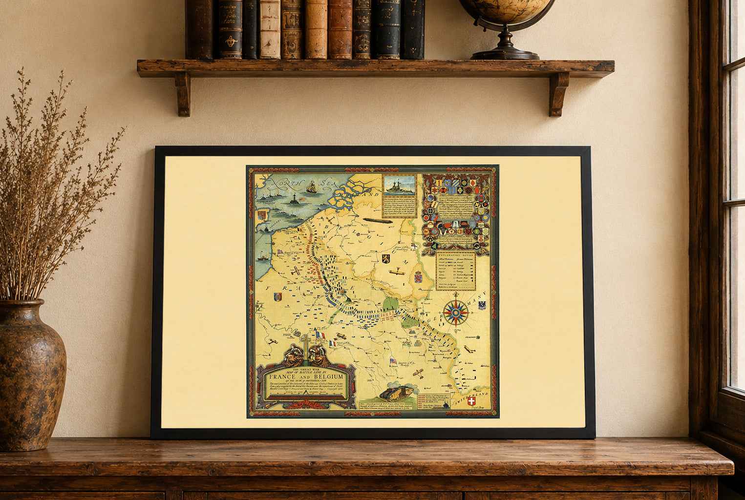
This is a reproduction print of a historical map based on Matthäus Seutter’s Nova Imperii Persici delineatio, created around 1730. The map depicts Persia and the wider Iranian world in the early 18th century, with detailed geographical features, settlements, political divisions, and surrounding regions.
The elaborate title cartouche features the Persian ruler surrounded by allegorical figures, while a decorative scene in the lower-left corner depicts pearl fishing and the trade of pearls, highlighting the cultural and economic significance of the Persian Gulf.
Originally produced as a copperplate engraving, this historic map combines geographical information with the elaborate decorative style characteristic of 18th-century European cartography. It makes striking wall art for history enthusiasts, collectors, and anyone interested in Persia, Iran, the Persian Empire, and antique maps.
Author: Matthäus Seutter
Year: c. 1730